Round The World and other travels
A frequent flyer's collection of trip diaries
This is: Round Ireland (2016-20)
Sligo - Donegal, with a few meanderings
As had become almost standard practice on this part of the trip, I once again had breakfast at the hotel. This was much quieter than on the previous day, and so much more pleasant as a result - for example, the buffet was in a much nicer condition. I was in no great hurry to get going, checking out just before 10am. On the face of it, my schedule was fairly slack today, so I was open to the idea of extending it by taking side trips off the main roads. Indeed, I had identified a number of possibilities already. I was confident that all but one of these would be marked with the familiar Wild Atlantic Way signs, while the remaining idea would involve once again getting close to - but this time not crossing - the Northern Ireland border.
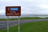
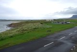
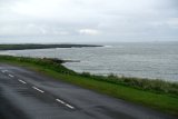
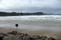
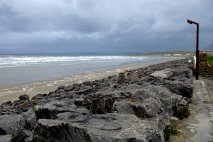
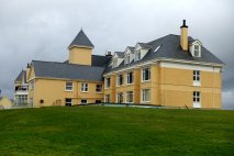
I had barely begun my journey when the first opportunity to take a potentially interesting diversion presented itself, and accordingly I found myself on the R291 heading for Rosses Point, a viewpoint facing Oyster Island. Thereafter I headed directly for the small town of Ballyshannon, before embarking on a second scenic diversion by taking a coastal loop through Rossnowlagh Beach.
 |
 |
 |
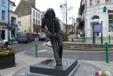 |
| ABOVE: Taking in the rather grey-looking view at Rosses Point | ABOVE:Brief stroll in Ballyshannon | ||
| BELOW: Another short coastal stop at Rossnowlagh Beach | ||
 |
 |
 |
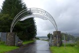
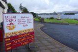
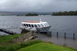
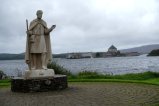
Next, following brief spell back on the N15 trunk route, I turned right at Laghy to take the R232 to Pettigo, a village situated directly adjacent to the Northern Ireland border. I turned left to stay within the Republic, taking a dead-end road to Lough Derg. I had been expecting some kind of tourist or leisure attraction to be located here, but instead found what looked like a 'serious' pilgrimage site, with a huge (but empty) car park. The main attraction appeared to be situated on a small island in the lake, but on the day of my visit, the boat service to the island was not running. The shore buildings also seemed to be having a quiet day, being open but with no sign of staff. None of this was in line with what I had been expecting, but the location was nice enough, and the reception building did at least provide an opportunity to visit the facilities!
 |
 |
 |
 |
 |
 |
Retracing my tracks from this end-of-the-line
location, I returned to the border village of
Pettigo to see what I could rustle up for lunch. This consisted of a
takeaway hot 'steak slice', eaten in the luxurious surroundings of
my parked rental car. Ah well, can't be living it up all the time!
![]()
Having attended to the needs of my stomach, to some extent at least, I pressed on to Donegal Town and round the bypass. I soon came to my hotel, but it was far too early to stop - and besides, the weather seemed to be improving. I carried on to explore the area west of the county town. My westward ramblings took me to Fintragh Bay, Largy, Malin Beg and Glencolumbkille. Malin Beg was a very remote and spectacular location, accessed by way of a particularly narrow single-track road which, it seemed to me, had much in common with a roller-coaster.
 |
 |
 |
 |
 |
 |
| ABOVE: A scenic diversion to Fintragh Bay | ABOVE: Short stop at Largy | ||||
| BELOW: More coastal scenery from Malin Beg to Glencolumbkille | |||||
 |
 |
 |
 |
 |
 |
 |
 |
 |
 |
On my return journey to Donegal, I visited Slieve League. This was an odd site which involved parking and completing the final, lengthy section up a steep gradient on foot.
My final night on this visit to Ireland was
spent at the Mill Park Hotel, which I had located earlier in the
afternoon. It looked like a nice place, but at the time of my
arrival it was in the process of
being taken over by a pretty awful wedding party, whose shared first
priority was getting paralytic as quickly as possible, regardless of
any impact on other guests. Oh no! Not
another dismal final night in Ireland, surely? ![]()