Round The World and other travels
A frequent flyer's collection of trip diaries
This is: Round Ireland (2016-20)
Castlebar - Achill Island - Sligo
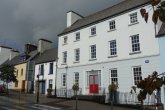
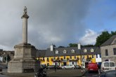
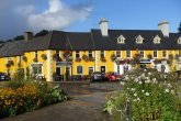
Following breakfast, I backtracked along the final section of Tuesday's drive to reach Westport. I took the opportunity to have a quick look around, despite being unlucky to catch a fairly intense shower from a mostly blue sky.
 |
 |
 |
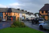 |
| ABOVE: Spectacular lighting effects in Westport, caused by a storm cloud in an otherwise clear sky | |||
 |
 |
| ABOVE: Approaching Achill Island, and having just made the crossing | |
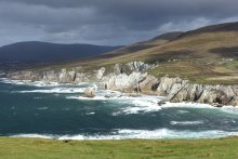
That was just a preamble, however. Today would revolve around exploring Achill Island, which is accessed via a short bridge from the main N59 road. The island provided a hugely enjoyable day, yielding up spectacular view after spectacular view. My approach was reasonably straightforward: on my way in (heading westwards), I took the opportunity to explore Wild Atlantic Way-branded side roads, then eventually I made a direct run eastwards on the main R319 road, which took a mere twenty minutes! Using this strategy, I clocked up visits to Cloghmore Pier, the so-called Atlantic Drive route in the island's northeastern corner (via Dugort Beach), the deserted village of Baile Tréigthe with the Slievemore graveyard, the town of Keel and the R319 road end at Keem Bay.
 |
 |
I had lunch at a bar and restaurant called Gielty's, which claimed to be Europe's most westerly pub. This was situated to the west of the village of Dooagh, between Keel and Keem Bay.
On returning to the mainland, I set course for Ballina and Sligo, but when I reached Bangor Erris I took a spur-of-the-moment decision to take a side road to Doohoma Head, which was marked as a scenic viewpoint. In due course, I settled into the Glasshouse Hotel, Sligo, for my only two-night stay of the trip.
 |
 |
 |
 |
 |
 |


